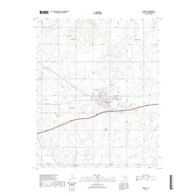
2018 Map of Okemah
USGS Topo · Published 2018About this map
Okemah serves as the central hub of this Okfuskee County landscape, where a grid of residential streets like W Columbia St and E Broadway St meets the surrounding rural section lines. The town's layout is closely integrated with regional transportation, positioned near the Okemah Flying Field and a network of arterial roads including Old Hwy 62 and Glen D Johnson Rd. To the southwest, the smaller settlement of Bearden sits near the banks of the North Canadian River, which marks the southern boundary of the quadrangle.
Find a feature on this map
80 named features on this map. Tap any name to fly to it.
Don’t see what you’re looking for? This feature index may not catch every label — zoom into the map to look around manually.
Map Details
Editions of this 2018 Okemah Map
This is the sole edition of this map. No revisions or reprints were ever made.
Other maps of this area
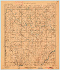
1900 · Wewoka
USGS Topo · 1:125,000
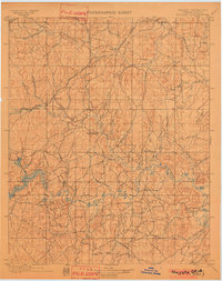
1901 · Nuyaka
USGS Topo · 1:125,000
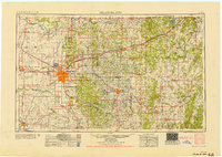
1954 · Oklahoma City
USGS Topo · 1:250,000
1957 · Oklahoma City
USGS Topo · 1:250,000
1963 · Oklahoma City
USGS Topo · 1:250,000
1967 · Cromwell
USGS Topo · 1:24,000
1967 · Okemah SE
USGS Topo · 1:24,000
1967 · Weleetka
USGS Topo · 1:24,000
1967 · Okemah
USGS Topo · 1:24,000
1967 · Boley
USGS Topo · 1:24,000