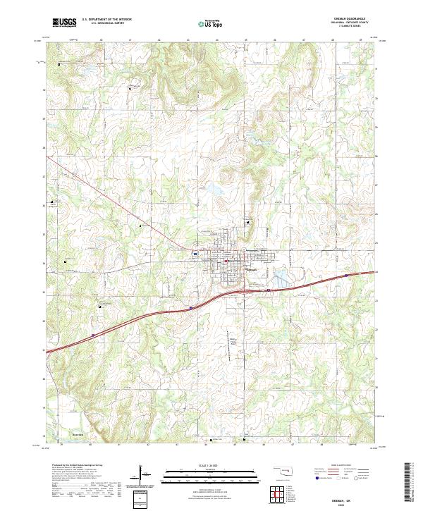
2022 Map of Okemah
USGS Topo · Published 2022About this map
Okemah serves as the focal point of this Oklahoma landscape, centered on its role as the county seat with the prominent Okfuskee County Courthouse. The town grid is well-defined by streets such as W Broadway St and Glen D Johnson Rd, transitioning into a countryside dotted with numerous family and community burial grounds. These small cemeteries, including Harjo Cem, Holahta Cem, and the Wind Family Cem, provide significant markers of the area's social history and genealogical heritage.
Find a feature on this map
58 named features on this map. Tap any name to fly to it.
Don’t see what you’re looking for? This feature index may not catch every label — zoom into the map to look around manually.
Map Details
Editions of this 2022 Okemah Map
This is the sole edition of this map. No revisions or reprints were ever made.
Other maps of this area

1900 · Wewoka
USGS Topo · 1:125,000

1901 · Nuyaka
USGS Topo · 1:125,000

1954 · Oklahoma City
USGS Topo · 1:250,000

1957 · Oklahoma City
USGS Topo · 1:250,000

1963 · Oklahoma City
USGS Topo · 1:250,000

1967 · Cromwell
USGS Topo · 1:24,000

1967 · Okemah SE
USGS Topo · 1:24,000

1967 · Weleetka
USGS Topo · 1:24,000

1967 · Okemah
USGS Topo · 1:24,000

1967 · Boley
USGS Topo · 1:24,000