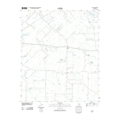
2010 Map of Ola
USGS Topo · Published 2010About this map
Morrow Chapel Cemetery and the settlement of Ola anchor this rural landscape in Kaufman County, reflecting the deep-rooted family history of the North Texas prairies. In the southern reach, the small community of Rand sits at the junction of FM 2515 and FM 1836, surrounded by the winding courses of Walnut Creek and Jones Creek. The map records an environment defined by small-scale ranching and petroleum interests, evidenced by the Fair Oil Field and numerous named water control structures like Circle K Dam Number 1 and West Lake Dam.
Find a feature on this map
57 named features on this map. Tap any name to fly to it.
Don’t see what you’re looking for? This feature index may not catch every label — zoom into the map to look around manually.
Map Details
Editions of this 2010 Ola Map
This is the sole edition of this map. No revisions or reprints were ever made.
Other maps of this area

1920 · Kemp
USGS Topo · 1:62,500

1954 · Dallas
USGS Topo · 1:250,000

1956 · Kaufman
USGS Topo · 1:62,500

1957 · Kemp
USGS Topo · 1:62,500

1958 · Dallas
USGS Topo · 1:250,000

1960 · Grays Prairie
USGS Topo · 1:24,000

1961 · Kemp
USGS Topo · 1:24,000

1962 · Prairieville
USGS Topo · 1:24,000

1962 · Elmo
USGS Topo · 1:24,000

1962 · Cedarvale
USGS Topo · 1:24,000