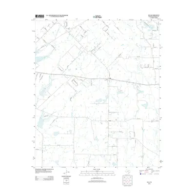
2012 Map of Ola
USGS Topo · Published 2012About this map
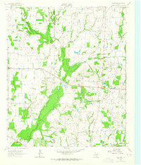
The rural communities of Ola and Rand anchor this landscape in Kaufman County, situated among a network of creeks feeding into the Trinity River basin. The terrain is defined by the branching waters of Big Cottonwood Cr, Little Cottonwood Cr, and Jones Cr, which carve through the countryside alongside specialized man-made features like Circle K Lake Number 1 and Circle K Lake Number 2. Local history and genealogy are well-represented by several family and community landmarks, including Morrow Chapel Cem, Fox Cem, and Rader Cem.
Find a feature on this map
77 named features on this map. Tap any name to fly to it.
Don’t see what you’re looking for? This feature index may not catch every label — zoom into the map to look around manually.
Map Details
Editions of this 2012 Ola Map
This is the sole edition of this map. No revisions or reprints were ever made.
Other maps of this area
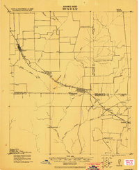
1920 · Kemp
USGS Topo · 1:62,500

1954 · Dallas
USGS Topo · 1:250,000
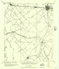
1956 · Kaufman
USGS Topo · 1:62,500
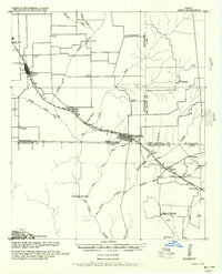
1957 · Kemp
USGS Topo · 1:62,500

1958 · Dallas
USGS Topo · 1:250,000
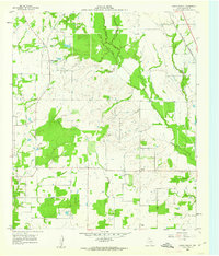
1960 · Grays Prairie
USGS Topo · 1:24,000
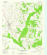
1961 · Kemp
USGS Topo · 1:24,000
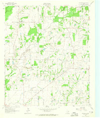
1962 · Prairieville
USGS Topo · 1:24,000
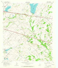
1962 · Elmo
USGS Topo · 1:24,000
1962 · Cedarvale
USGS Topo · 1:24,000