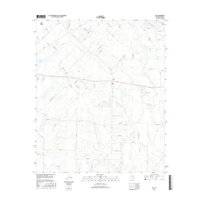
2016 Map of Ola
USGS Topo · Published 2016About this map
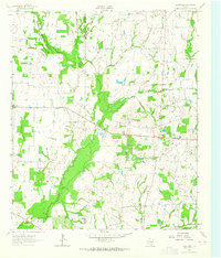
Ola and Oak Ridge stand as primary settlements in this rural Kaufman County landscape, defined by a network of creeks and small impoundments. The terrain is deeply carved by drainage systems including Little Cottonwood Cr and Big Cottonwood Cr, which feed into larger water bodies like Kaufman Lake. The distribution of historical family and community sites is evident through several established burial grounds, notably Morrow Chapel Cem located near the center of the survey and Rader Cem to the northeast. A series of private lakes, such as Circle K Lake Number 1 and Circle K Lake Number 2, suggest the area's later development for ranching or recreational land use. The presence of Jones Cr and Walnut Cr further illustrates the complex watershed that has historically dictated road placement and settlement patterns across this portion of East Texas.
Find a feature on this map
69 named features on this map. Tap any name to fly to it.
Don’t see what you’re looking for? This feature index may not catch every label — zoom into the map to look around manually.
Map Details
Editions of this 2016 Ola Map
This is the sole edition of this map. No revisions or reprints were ever made.
Other maps of this area
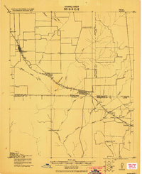
1920 · Kemp
USGS Topo · 1:62,500

1954 · Dallas
USGS Topo · 1:250,000
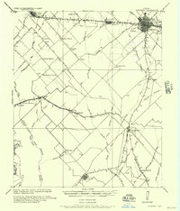
1956 · Kaufman
USGS Topo · 1:62,500
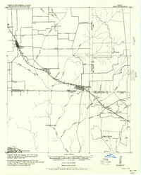
1957 · Kemp
USGS Topo · 1:62,500

1958 · Dallas
USGS Topo · 1:250,000
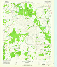
1960 · Grays Prairie
USGS Topo · 1:24,000
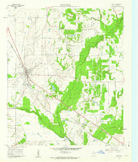
1961 · Kemp
USGS Topo · 1:24,000
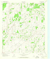
1962 · Prairieville
USGS Topo · 1:24,000
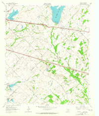
1962 · Elmo
USGS Topo · 1:24,000
1962 · Cedarvale
USGS Topo · 1:24,000