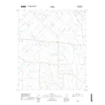
2019 Map of Ola
USGS Topo · Published 2019About this map
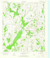
Ola serves as the focal point of this Kaufman County landscape, situated at the junction of several farm-to-market roads that connect the surrounding rural reaches. The area is defined by a dense network of tributaries including Walnut Cr and Jones Cr, which feed into various small lakes and reservoirs such as Kaufman Lake and the Circle K Lake Number 1. These water bodies and creek systems suggest a landscape primarily shaped by agriculture and livestock, with property lines often following the contours of the drainage basins. Local history is anchored by several long-standing burial grounds, including the Morrow Chapel Cem, Fox Cem, and Rader Cem. The 2019 survey shows the continued presence of family-named ranch roads like Cartwright Ranch Rd, reflecting the persistent heritage of land ownership in this part of Texas even as modern residential streets begin to branch off the primary thoroughfares.
Find a feature on this map
71 named features on this map. Tap any name to fly to it.
Don’t see what you’re looking for? This feature index may not catch every label — zoom into the map to look around manually.
Map Details
Editions of this 2019 Ola Map
This is the sole edition of this map. No revisions or reprints were ever made.
Other maps of this area
1920 · Kemp
USGS Topo · 1:62,500

1954 · Dallas
USGS Topo · 1:250,000
1956 · Kaufman
USGS Topo · 1:62,500
1957 · Kemp
USGS Topo · 1:62,500

1958 · Dallas
USGS Topo · 1:250,000
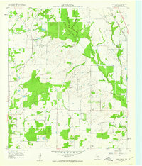
1960 · Grays Prairie
USGS Topo · 1:24,000
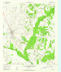
1961 · Kemp
USGS Topo · 1:24,000
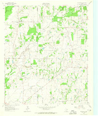
1962 · Prairieville
USGS Topo · 1:24,000
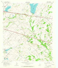
1962 · Elmo
USGS Topo · 1:24,000
1962 · Cedarvale
USGS Topo · 1:24,000