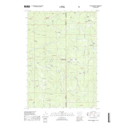
2017 Map of Old Baldy Mountain
USGS Topo · Published 2017About this map
Old Baldy Mountain and Cement Ridge anchor this 2017 survey of the borderlands between Crook County, Wyoming, and Lawrence County, South Dakota. Located within the Black Hills National Forest, the landscape is a complex network of high-elevation gulches and springs. The map documents numerous water sources critical to the area's history, including Lone Grave Spring, Guidinger Spring, and the various Rattlesnake Springs. This area has long served as a corridor for movement, as seen in the dense web of forest roads like the Wagon Canyon Br 1E and Cement 1601. Named landmarks such as Moonshine Gulch, Riflepit Canyon, and Bonanza Gulch suggest a legacy of early prospecting and local frontier activity. The eastern edge features high mountain parks, including Stearns Park and Buffalo Park, providing clearings amidst the heavily dissected timberland.
Find a feature on this map
107 named features on this map. Tap any name to fly to it.
Don’t see what you’re looking for? This feature index may not catch every label — zoom into the map to look around manually.
Map Details
Editions of this 2017 Old Baldy Mountain Map
This is the sole edition of this map. No revisions or reprints were ever made.
Other maps of this area
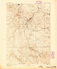
1894 · Deadwood
USGS Topo · 1:125,000
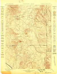
1898 · Sundance
USGS Topo · 1:125,000
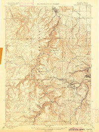
1900 · Spearfish
USGS Topo · 1:62,500
1901 · Deadwood
USGS Topo · 1:125,000
1902 · Sundance
USGS Topo · 1:125,000
1915 · Spearfish
USGS Topo · 1:62,500
1916 · Deadwood
USGS Topo · 1:125,000
1953 · Rapid City
USGS Topo · 1:250,000
1954 · Gillette
USGS Topo · 1:250,000
1955 · Gillette
USGS Topo · 1:250,000