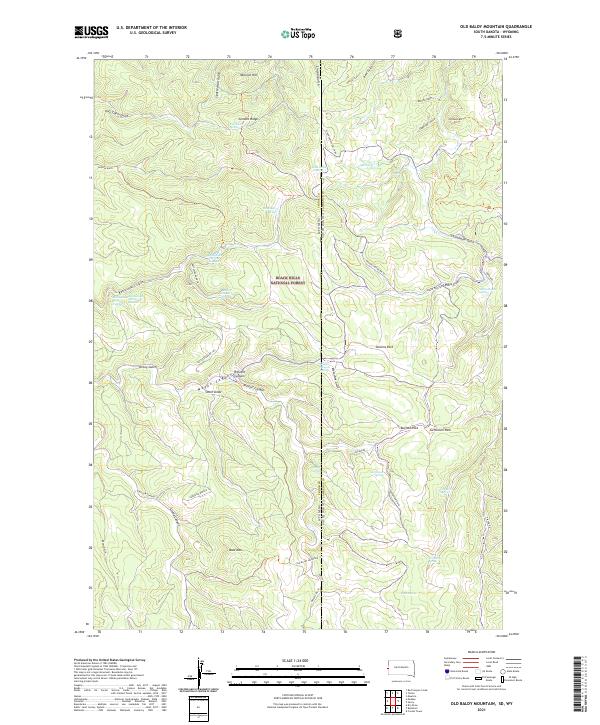
2021 Map of Old Baldy Mountain
USGS Topo · Published 2021About this map
Black Hills National Forest defines this high-elevation landscape straddling the state line between Wyoming and South Dakota. The terrain is deeply incised by a network of gulches and canyons, including Grand Canyon, Riflepit Canyon, and Rattlesnake Canyon. Strategic high points such as Old Baldy Mtn, Bald Mtn, and Cement Ridge overlook a complex drainage system marked by numerous named water sources. The proliferation of springs, such as Pole Cabin Spring, Lone Grave Spring, and Balm of Gilead Spring, suggests a landscape where water access was critical for early settlers and forest management. This 2021 survey also details local access via the Tinton Rd and specialized forest routes like Rattlesnake BR 1B, reflecting the modern administrative and recreational footprint of the region.
Find a feature on this map
65 named features on this map. Tap any name to fly to it.
Don’t see what you’re looking for? This feature index may not catch every label — zoom into the map to look around manually.
Map Details
Editions of this 2021 Old Baldy Mountain Map
This is the sole edition of this map. No revisions or reprints were ever made.
Other maps of this area

1894 · Deadwood
USGS Topo · 1:125,000

1898 · Sundance
USGS Topo · 1:125,000

1900 · Spearfish
USGS Topo · 1:62,500

1901 · Deadwood
USGS Topo · 1:125,000

1902 · Sundance
USGS Topo · 1:125,000

1915 · Spearfish
USGS Topo · 1:62,500

1916 · Deadwood
USGS Topo · 1:125,000

1953 · Rapid City
USGS Topo · 1:250,000

1954 · Gillette
USGS Topo · 1:250,000

1955 · Gillette
USGS Topo · 1:250,000