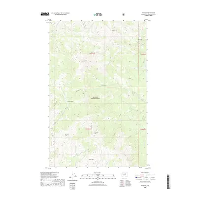
2020 Map of Old Baldy
USGS Topo · Published 2020About this map
Old Baldy rises as a central landmark within this portion of the Okanogan National Forest in northern Washington. The landscape is defined by its complex drainage systems, including the headwaters of W Fork Salmon Cr and Pearrygin Creek, which carve through the high-elevation ridges. Distinctive terrain features such as the Golden Stairway and Starvation Mtn suggest a landscape used historically for seasonal grazing or timber management. Small alpine meadows like Beaver Meadows and the nearby Beaver Meadow are interspersed among the peaks of Mt McCoy and Blue Buck Ridge. Important transition points through the high country are marked at Baldy Pass and Pelican Pass, providing insight into the movement patterns across the northern Cascades foothills in Okanogan County.
Find a feature on this map
35 named features on this map. Tap any name to fly to it.
Don’t see what you’re looking for? This feature index may not catch every label — zoom into the map to look around manually.
Map Details
Editions of this 2020 Old Baldy Map
This is the sole edition of this map. No revisions or reprints were ever made.
Other maps of this area
1899 · Methow
USGS Topo · 1:125,000
1901 · Methow
USGS Topo · 1:125,000
1905 · Okanogan
USGS Topo · 1:125,000
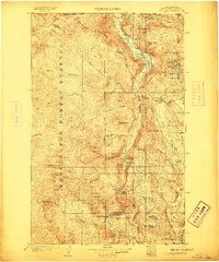
1906 · Chopaka
USGS Topo · 1:125,000

1954 · Okanogan
USGS Topo · 1:250,000

1955 · Concrete
USGS Topo · 1:250,000
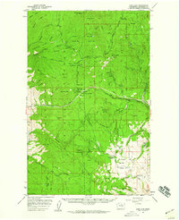
1956 · Loup Loup
USGS Topo · 1:62,500
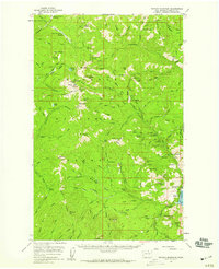
1956 · Tiffany Mountain
USGS Topo · 1:62,500

1958 · Concrete
USGS Topo · 1:250,000

1958 · Okanogan
USGS Topo · 1:250,000