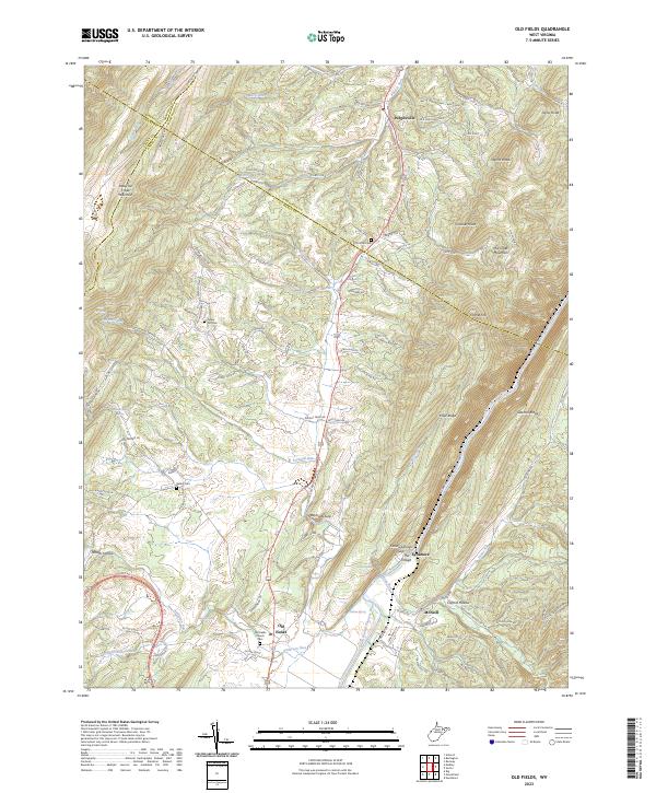
2023 Map of Old Fields
USGS Topo · Published 2023About this map
Purgitsville and the agricultural valley of Old Fields anchor this pocket of West Virginia where the South Branch Potomac River carves through the ridge-and-valley landscape. This 2023 survey illustrates a rural corridor defined by high summits like Patterson Creek Mountain and Mill Creek Mountain, which hem in the settlements and river lowlands. Local history is etched into the terrain at sites such as Old Fields Church Cem and the Christian Church near the Mineral County line. The topography dictates the movement of water and people alike, with Reynolds Gap and Falling Springs Gap providing natural breaks in the massive stone walls of River Ridge and Sawmill Ridge. Geologists and researchers can trace the course of Welton Spring and McNeil Spring as they feed into the complex drainage network of the Potomac.
Find a feature on this map
105 named features on this map. Tap any name to fly to it.
Don’t see what you’re looking for? This feature index may not catch every label — zoom into the map to look around manually.
Map Details
Editions of this 2023 Old Fields Map
This is the sole edition of this map. No revisions or reprints were ever made.
Other maps of this area

1891 · Romney
USGS Topo · 1:125,000

1895 · Piedmont
USGS Topo · 1:125,000

1919 · Elk Garden
USGS Topo · 1:48,000

1920 · Elk Garden
USGS Topo · 1:48,000

1920 · Moorefield
USGS Topo · 1:62,500

1920 · Keyser
USGS Topo · 1:62,500

1921 · Keyser
USGS Topo · 1:48,000

1921 · Greenland Gap
USGS Topo · 1:62,500

1921 · Moorefield
USGS Topo · 1:48,000

1922 · Elk Garden
USGS Topo · 1:62,500