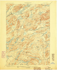
1901 Map of Old Forge
USGS Topo · Published 1905About this map
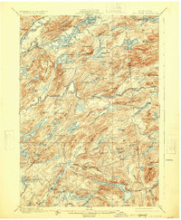
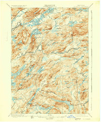
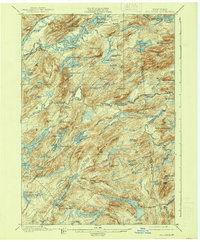
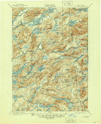
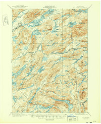
Old Forge serves as the gateway to the Central Adirondacks in this survey, showing a landscape defined by its transition from industrial logging to seasonal recreation. The Fulton Chain R.R. connects this emerging hub to the wider region, while a dedicated Steamboat Route traverses the waters from First Lake through Fourth Lake, linking remote points of interest.
Find a feature on this map
113 named features on this map. Tap any name to fly to it.
Don’t see what you’re looking for? This feature index may not catch every label — zoom into the map to look around manually.
Map Details
Editions of this 1901 Old Forge Map
10 editions found
Other maps of this area

1897 · Remsen
USGS Topo · 1:62,500

1900 · Remsen
USGS Topo · 1:62,500

1900 · Canada Lake
USGS Topo · 1:62,500

1900 · Wilmurt
USGS Topo · 1:62,500

1901 · Old Forge
USGS Topo · 1:62,500

1902 · Wilmurt
USGS Topo · 1:62,500

1903 · Big Moose
USGS Topo · 1:62,500

1903 · West Canada Lakes
USGS Topo · 1:62,500

1903 · Raquette Lake
USGS Topo · 1:62,500

1904 · Piseco Lake
USGS Topo · 1:62,500