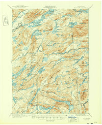
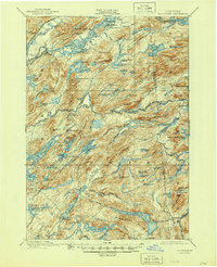
1901 Map of Old Forge
USGS Topo · Published 1949About this map
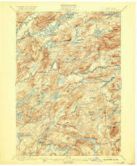
Old Forge serves as the gateway to the central Adirondacks at the turn of the century, positioned where the N.Y.C. and H.R.R.R. (Adirondack Division) intersects the famous Fulton Chain of lakes. The landscape is a complex network of waterways including Fourth Lake, Woodhull Lake, and Honnedaga Lake, which supported the region's early identity as a premier sporting and retreat destination. Remote outposts and seasonal habitations such as Bisby Lodge, Mountain Lodge, and various logging or sporting camps like Proctor Camp and Beecher Camp are scattered throughout the dense topography of Panther Mountain and Ice Cave Valley. A designated Steamboat Route is marked through the Fulton Chain, indicating the primary method of deep-woods transport before the widespread expansion of roads. The survey also captures the headwaters of the Black River and the South Branch Moose River, illustrating the hydraulic connections that defined the North Country's early industry.
Find a feature on this map
122 named features on this map. Tap any name to fly to it.
Don’t see what you’re looking for? This feature index may not catch every label — zoom into the map to look around manually.
Map Details
Editions of this 1901 Old Forge Map
10 editions found
Other maps of this area

1897 · Remsen
USGS Topo · 1:62,500

1900 · Remsen
USGS Topo · 1:62,500

1900 · Canada Lake
USGS Topo · 1:62,500

1900 · Wilmurt
USGS Topo · 1:62,500

1901 · Old Forge
USGS Topo · 1:62,500

1902 · Wilmurt
USGS Topo · 1:62,500

1903 · Big Moose
USGS Topo · 1:62,500

1903 · West Canada Lakes
USGS Topo · 1:62,500

1903 · Raquette Lake
USGS Topo · 1:62,500

1904 · Piseco Lake
USGS Topo · 1:62,500