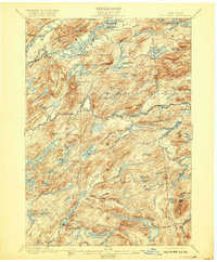
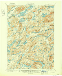
1901 Map of Old Forge
USGS Topo · Published 1920About this map
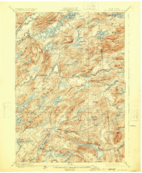
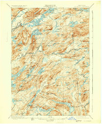
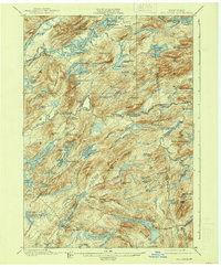
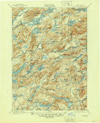
The Adirondack Division N.Y.C. & H.R. R.R. cuts through the northwest corner of this Adirondack landscape, marking the era when rail and water routes first opened these remote reaches of Herkimer County to seasonal residents and sportsmen. The map documents a distinct leisure geography of the early twentieth century, featuring a Steamboat Route connecting the Chain Lakes from First Lake through Fourth Lake. Scattered among the dense topography of Bald Mountain and Ice Cave Mountain are established retreats like Mountain Lodge, Bisby Lodge, and numerous private outposts such as Carlin Camp and Beecher Camp. These camps and lodges, often situated near water bodies like Little Moose Lake or Limekiln Lake, reflect the late nineteenth-century movement toward managed wilderness preservation and private sporting clubs. The intricate drainage of Third Lake Swamp and the Middle Branch Fulton Chain R. highlights the complex hydrology that supported the region's early tourism and logging interests.
Find a feature on this map
101 named features on this map. Tap any name to fly to it.
Don’t see what you’re looking for? This feature index may not catch every label — zoom into the map to look around manually.
Map Details
Editions of this 1901 Old Forge Map
10 editions found
Other maps of this area

1897 · Remsen
USGS Topo · 1:62,500

1900 · Remsen
USGS Topo · 1:62,500

1900 · Canada Lake
USGS Topo · 1:62,500

1900 · Wilmurt
USGS Topo · 1:62,500

1901 · Old Forge
USGS Topo · 1:62,500

1902 · Wilmurt
USGS Topo · 1:62,500

1903 · Big Moose
USGS Topo · 1:62,500

1903 · West Canada Lakes
USGS Topo · 1:62,500

1903 · Raquette Lake
USGS Topo · 1:62,500

1904 · Piseco Lake
USGS Topo · 1:62,500