
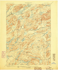
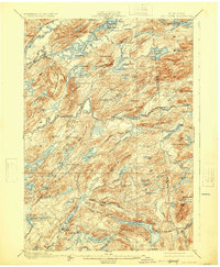
1901 Map of Old Forge
USGS Topo · Published 1901About this map
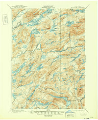
Old Forge serves as a gateway to a landscape of interconnected waterways and specialized seasonal camps in the Adirondacks at the turn of the century. The N. Y. C. and H. R. R. R. (Adirondack Division) tracks skirt the western edge, while a defined Steamboat Route cuts across First Lake and Second Lake, indicating the importance of water travel for reaching remote locations like Bishy Lodge or Carlin Camp.
Find a feature on this map
125 named features on this map. Tap any name to fly to it.
Don’t see what you’re looking for? This feature index may not catch every label — zoom into the map to look around manually.
Map Details
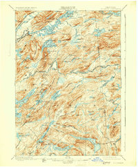
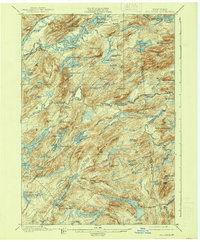
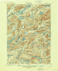
Editions of this 1901 Old Forge Map
10 editions found
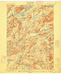
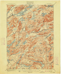
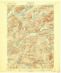
Other maps of this area

1897 · Remsen
USGS Topo · 1:62,500

1900 · Remsen
USGS Topo · 1:62,500

1900 · Canada Lake
USGS Topo · 1:62,500

1900 · Wilmurt
USGS Topo · 1:62,500

1902 · Wilmurt
USGS Topo · 1:62,500

1903 · Big Moose
USGS Topo · 1:62,500

1903 · West Canada Lakes
USGS Topo · 1:62,500

1903 · Raquette Lake
USGS Topo · 1:62,500

1904 · Piseco Lake
USGS Topo · 1:62,500

1906 · Piseco Lake
USGS Topo · 1:62,500