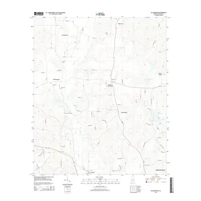
2014 Map of Old Kingston
USGS Topo · Published 2014About this map
Autauga Cr and Bridge Cr carve through the center of Autauga County, framing a landscape defined by small rural settlements and family cemeteries. At the heart of this area, Old Kingston and its namesake Old Kingston Cem sit just west of the creek, while Poseys Crossroads serves as a junction for local travel to the east. The terrain is notably etched with the legacies of early local families, as seen in the distribution of Wilsons Cem, Stewart Cem, and Booth Cem. Toward the southern edge of the survey, the city of Prattville begins to emerge, contrasting with the more dispersed community layout at Mount Sinai and Browntown. Water remains a central feature of the local geography, from the recreational Camp Tukabatchee Lake to the meandering course of Mill Cr and Little Bridge Run.
Find a feature on this map
94 named features on this map. Tap any name to fly to it.
Don’t see what you’re looking for? This feature index may not catch every label — zoom into the map to look around manually.
Map Details
Editions of this 2014 Old Kingston Map
This is the sole edition of this map. No revisions or reprints were ever made.
Other maps of this area

1891 · Clanton
USGS Topo · 1:125,000

1901 · Wetumpka
USGS Topo · 1:125,000

1903 · Wetumpka
USGS Topo · 1:125,000

1927 · Montgomery
USGS Topo · 1:48,000

1930 · Montgomery
USGS Topo · 1:62,500

1953 · Montgomery
USGS Topo · 1:250,000

1956 · Montgomery
USGS Topo · 1:250,000

1957 · Montgomery
USGS Topo · 1:250,000

1957 · Autaugaville
USGS Topo · 1:62,500

1958 · Montgomery
USGS Topo · 1:62,500