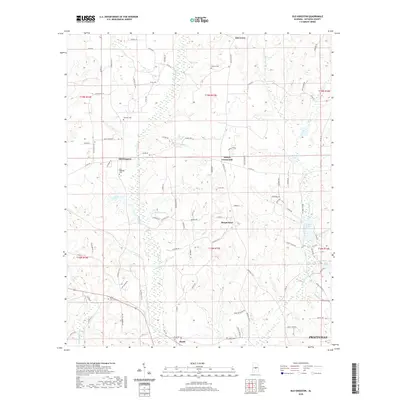
2020 Map of Old Kingston
USGS Topo · Published 2020About this map
Autauga Cr and White Water Cr shape the rural landscape of central Alabama in this 2020 record of the terrain north of Prattville. The map documents a network of small settlements and historical crossroads that define the region's heritage, including Old Kingston, Poseys Crossroads, and Mount Sinai. These locations, along with the railroad-adjacent community of Booth, provide clear reference points for those tracing the social geography of Autauga County.
Find a feature on this map
89 named features on this map. Tap any name to fly to it.
Don’t see what you’re looking for? This feature index may not catch every label — zoom into the map to look around manually.
Map Details
Editions of this 2020 Old Kingston Map
This is the sole edition of this map. No revisions or reprints were ever made.
Other maps of this area

1891 · Clanton
USGS Topo · 1:125,000

1901 · Wetumpka
USGS Topo · 1:125,000

1903 · Wetumpka
USGS Topo · 1:125,000

1927 · Montgomery
USGS Topo · 1:48,000

1930 · Montgomery
USGS Topo · 1:62,500

1953 · Montgomery
USGS Topo · 1:250,000

1956 · Montgomery
USGS Topo · 1:250,000

1957 · Montgomery
USGS Topo · 1:250,000

1957 · Autaugaville
USGS Topo · 1:62,500

1958 · Montgomery
USGS Topo · 1:62,500