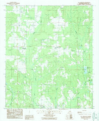
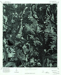
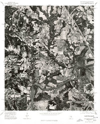
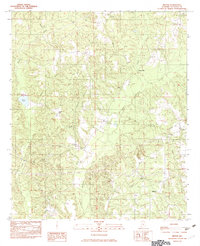
1987 Map of Old Kingston
USGS Topo · Published 1987This historical map portrays the area of Old Kingston in 1987, primarily covering Autauga County. Featuring a scale of 1:24000, this map provides a highly detailed snapshot of the terrain, roads, buildings, counties, and historical landmarks in the Old Kingston region at the time. Published in 1987, it is the sole known edition of this map.
Find a feature on this map
18 named features on this map. Tap any name to fly to it.
Don’t see what you’re looking for? This feature index may not catch every label — zoom into the map to look around manually.
Map Details
Editions of this 1987 Old Kingston Map
This is the sole edition of this map. No revisions or reprints were ever made.
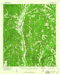
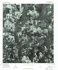
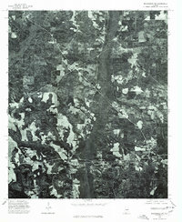
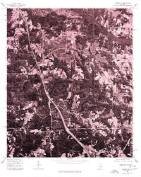
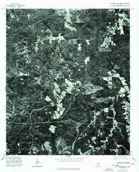
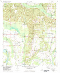
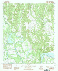
Historical Maps of Oak Grove Through Time
15 maps found
1959 Plantersville
Autauga County, AL
1975 Autaugaville NE
Autauga County, AL
1975 Autaugaville NW
Autauga County, AL
1975 Benton NE
Autauga County, AL
1975 Billingsley SE
Autauga County, AL
1975 Billingsley SW
Autauga County, AL
1975 Elmore SW
Autauga County, AL
1975 Montgomery NW
Autauga County, AL
1975 Plantersville SE
Autauga County, AL
1981 Forester
Autauga County, AL
1982 Durant Bend
Autauga County, AL
1982 Milton
Autauga County, AL
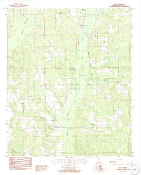
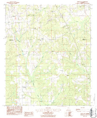
1987 Old Kingston
Autauga County, AL
1987 Vida
Autauga County, AL
1987 White City
Autauga County, AL