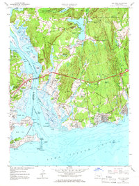
1958 Map of Old Lyme
USGS Topo · Published 1966About this map
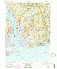
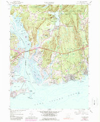
Stone Ranch Military Reservation and the Connecticut National Guard training grounds dominate the wooded heights east of the Connecticut River in this mid-century survey. The landscape reflects a transition from early industrial water power at Upper Millpond and Lower Millpond to a shoreline economy defined by summer colonies and coastal transit. The New York New Haven and Hartford Railroad cuts through the marshy lowlands near Lyme Station, while the Hartford Turnpike and the Raymond E Baldwin Bridge signal the modernization of Connecticut's highway system. Along the Long Island Sound, established beach communities like Sound View, Point O' Woods, and Hawks Nest Beach sit adjacent to the protected acreage of Rocky Neck State Park. Local history is preserved in the scattered family plots of Ely Cem and Champion Cem.
Find a feature on this map
123 named features on this map. Tap any name to fly to it.
Don’t see what you’re looking for? This feature index may not catch every label — zoom into the map to look around manually.
Map Details
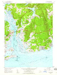
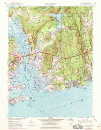
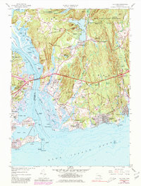
Editions of this 1958 Old Lyme Map
6 editions found
Other maps of this area

1892 · New London
USGS Topo · 1:62,500

1893 · New London
USGS Topo · 1:62,500

1893 · Saybrook
USGS Topo · 1:62,500

1903 · Gardiners Island
USGS Topo · 1:62,500

1904 · Gardiners Island
USGS Topo · 1:62,500

1921 · Gardiners Island
USGS Topo · 1:62,500

1921 · New London
USGS Topo · 1:62,500

1934 · Niantic
USGS Topo · 1:24,000

1935 · Montville
USGS Topo · 1:24,000

1938 · Niantic
USGS Topo · 1:62,500