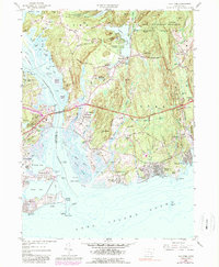
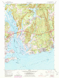
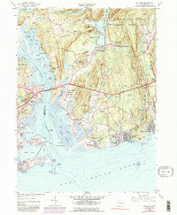
1958 Map of Old Lyme
USGS Topo · Published 1987About this map
Old Lyme and its surrounding coastal hamlets are detailed in this study of the shoreline and lower Connecticut River valley. The map documents a period of significant infrastructure development, most notably the path of the Connecticut Turnpike and the Raymond E Baldwin Bridge spanning the river toward Old Saybrook. While modern transit routes take hold, older patterns remain visible, such as the Old Lyme Station along the Penn Central line and a network of traditional burying grounds including Duck River Cem and Champion Cem.
Find a feature on this map
83 named features on this map. Tap any name to fly to it.
Don’t see what you’re looking for? This feature index may not catch every label — zoom into the map to look around manually.
Map Details
Editions of this 1958 Old Lyme Map
6 editions found
Other maps of this area

1892 · New London
USGS Topo · 1:62,500

1893 · New London
USGS Topo · 1:62,500

1893 · Saybrook
USGS Topo · 1:62,500

1903 · Gardiners Island
USGS Topo · 1:62,500

1904 · Gardiners Island
USGS Topo · 1:62,500

1921 · Gardiners Island
USGS Topo · 1:62,500

1921 · New London
USGS Topo · 1:62,500

1934 · Niantic
USGS Topo · 1:24,000

1935 · Montville
USGS Topo · 1:24,000

1938 · Niantic
USGS Topo · 1:62,500