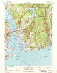
1958 Map of Old Lyme
USGS Topo · Published 1971About this map
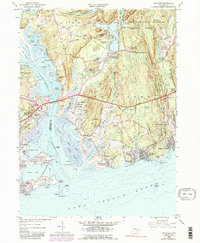
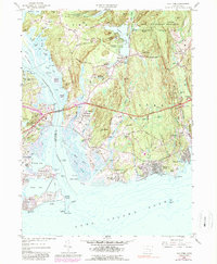
Connecticut River transitions into the Long Island Sound here, defining a landscape of tidal flats and coastal settlements. The 1970 revisions, shown in purple, highlight the growth of transportation infrastructure such as the Raymond E Baldwin Bridge and the Penn Central rail line crossing the water. Away from the shore, the Stone Ranch Military Reservation occupies a large tract of high ground near Rogers Lake, while established hamlets like Hamburg and Old Lyme maintain their historic footprints. Local genealogy is well-represented through numerous burial sites including Duck River Cem and Griswold Cem, alongside landmarks such as the Saybrook Lighthouse at Lynde Pt. The map captures the interface of established coastal villages and the expanding post-war suburban developments at Otter Cove Estates.
Find a feature on this map
85 named features on this map. Tap any name to fly to it.
Don’t see what you’re looking for? This feature index may not catch every label — zoom into the map to look around manually.
Map Details
Editions of this 1958 Old Lyme Map
6 editions found
Other maps of this area

1892 · New London
USGS Topo · 1:62,500

1893 · New London
USGS Topo · 1:62,500

1893 · Saybrook
USGS Topo · 1:62,500

1903 · Gardiners Island
USGS Topo · 1:62,500

1904 · Gardiners Island
USGS Topo · 1:62,500

1921 · Gardiners Island
USGS Topo · 1:62,500

1921 · New London
USGS Topo · 1:62,500

1934 · Niantic
USGS Topo · 1:24,000

1935 · Montville
USGS Topo · 1:24,000

1938 · Niantic
USGS Topo · 1:62,500