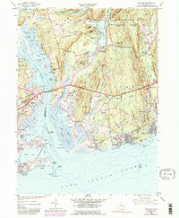
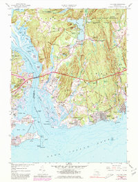
1958 Map of Old Lyme
USGS Topo · Published 1987About this map
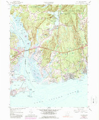
Long Island Sound and the mouth of the Connecticut River define this coastal landscape, where the shifting tides meet established maritime settlements. The river acts as a historic boundary between Middlesex and New London Counties, with the Raymond E Baldwin Bridge providing a vital highway link between Old Saybrook and Old Lyme. Along the eastern shore, the map reveals an intricate network of waterways including the Lieutenant River, Black Hall River, and Duck River, which once supported local industry at sites like Upper Millpond and Lower Millpond.
Find a feature on this map
115 named features on this map. Tap any name to fly to it.
Don’t see what you’re looking for? This feature index may not catch every label — zoom into the map to look around manually.
Map Details
Editions of this 1958 Old Lyme Map
6 editions found
Other maps of this area

1892 · New London
USGS Topo · 1:62,500

1893 · New London
USGS Topo · 1:62,500

1893 · Saybrook
USGS Topo · 1:62,500

1903 · Gardiners Island
USGS Topo · 1:62,500

1904 · Gardiners Island
USGS Topo · 1:62,500

1921 · Gardiners Island
USGS Topo · 1:62,500

1921 · New London
USGS Topo · 1:62,500

1934 · Niantic
USGS Topo · 1:24,000

1935 · Montville
USGS Topo · 1:24,000

1938 · Niantic
USGS Topo · 1:62,500