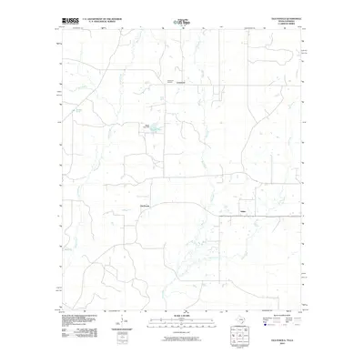
2010 Map of Old Panola
USGS Topo · Published 2010About this map
The settlement of Centennial and its namesake Centennial Cemetery anchor the northern reaches of this Panola County landscape, where the rural character of East Texas is defined by a dense network of creek drainages. To the south, the namesake Old Panola sits near the crossing of several local roads, while Shiloh marks a distinct point of habitation further east. The topography is shaped by the winding paths of Socagee Creek and Mill Creek, which flow through a terrain dotted with small water bodies. Notable water features include Bagley Lake, regulated by the Bagley Lake Dam, and the isolated Bouges Pond. This survey preserves the spatial relationship between these small communities and their natural environment, showing a landscape of scattered farmsteads and rural crossroads before further modernization altered the local road and drainage patterns.
Find a feature on this map
12 named features on this map. Tap any name to fly to it.
Don’t see what you’re looking for? This feature index may not catch every label — zoom into the map to look around manually.
Map Details
Editions of this 2010 Old Panola Map
This is the sole edition of this map. No revisions or reprints were ever made.
Other maps of this area

1943 · Waskom
USGS Topo · 1:62,500

1945 · Grand Cane
USGS Topo · 1:62,500

1945 · Waskom
USGS Topo · 1:62,500

1945 · Greenwood
USGS Topo · 1:62,500

1945 · Socagee Bayou
USGS Topo · 1:62,500

1955 · Shreveport
USGS Topo · 1:250,000

1955 · Greenwood
USGS Topo · 1:62,500

1956 · Shreveport
USGS Topo · 1:250,000

1956 · Tyler
USGS Topo · 1:250,000

1956 · Deadwood
USGS Topo · 1:62,500