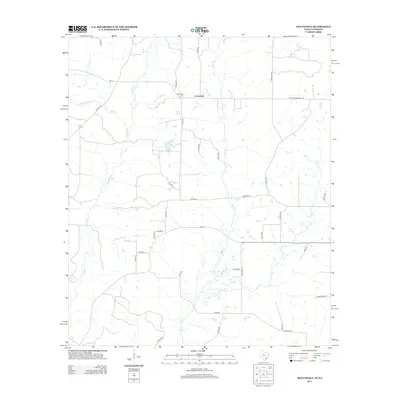
2013 Map of Old Panola
USGS Topo · Published 2013About this map
Centennial and the surrounding borderlands of Panola County, Texas, and Louisiana are defined by a complex network of creeks and rural routes in this 2013 survey. The landscape is heavily influenced by the winding paths of Socagee Cr and Mill Cr, which drain the low-lying terrain near the state line. Settlement patterns follow the established county road system, with clusters of activity near Old Panola and the Centennial Cem.
Find a feature on this map
40 named features on this map. Tap any name to fly to it.
Don’t see what you’re looking for? This feature index may not catch every label — zoom into the map to look around manually.
Map Details
Editions of this 2013 Old Panola Map
This is the sole edition of this map. No revisions or reprints were ever made.
Other maps of this area
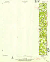
1943 · Waskom
USGS Topo · 1:62,500
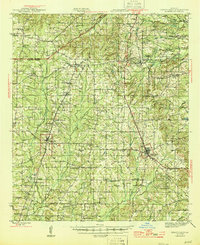
1945 · Grand Cane
USGS Topo · 1:62,500
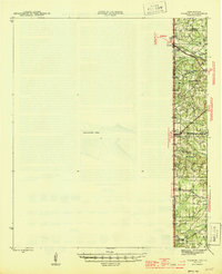
1945 · Waskom
USGS Topo · 1:62,500
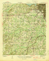
1945 · Greenwood
USGS Topo · 1:62,500
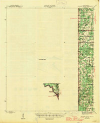
1945 · Socagee Bayou
USGS Topo · 1:62,500
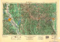
1955 · Shreveport
USGS Topo · 1:250,000
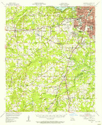
1955 · Greenwood
USGS Topo · 1:62,500
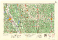
1956 · Shreveport
USGS Topo · 1:250,000

1956 · Tyler
USGS Topo · 1:250,000
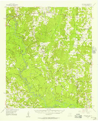
1956 · Deadwood
USGS Topo · 1:62,500