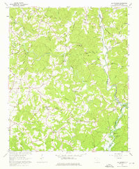
1961 Map of Old Pickens
USGS Topo · Published 1976About this map
Old Pickens sits at the eastern edge of the Oconee and Pickens county line, where the landscape is defined by the winding course of the Keowee River and the Little River. This 1961 field check captures the region during a period of transition, with the southern reaches already feeling the impact of the rising waters from Hartwell Lake. The survey documents a deeply established rural network of family-named roads and community landmarks, such as Owens Chapel, Morgan Memorial Ch, and the Keowee High Sch.
Find a feature on this map
81 named features on this map. Tap any name to fly to it.
Don’t see what you’re looking for? This feature index may not catch every label — zoom into the map to look around manually.
Map Details
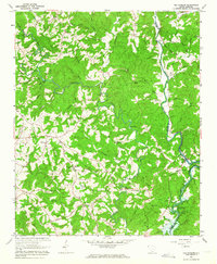
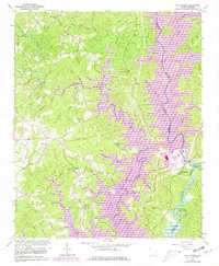
Editions of this 1961 Old Pickens Map
3 editions found
Other maps of this area

1886 · Walhalla
USGS Topo · 1:125,000

1888 · Pickens
USGS Topo · 1:125,000

1892 · Walhalla
USGS Topo · 1:125,000

1894 · Pickens
USGS Topo · 1:125,000

1896 · Walhalla
USGS Topo · 1:125,000

1951 · Clemson
USGS Topo · 1:24,000

1954 · Greenville
USGS Topo · 1:250,000

1958 · Greenville
USGS Topo · 1:250,000

1958 · Seneca
USGS Topo · 1:24,000

1959 · Salem
USGS Topo · 1:24,000