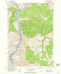
1952 Map of Olds Ferry NW
USGS Topo · Published 1960About this map
The Snake River carves a deep canyon through this landscape on the border of Oregon and Idaho, where the Union Pacific railroad tracks hug the western bank through Baker County. This early 1950s survey documents a rugged river corridor punctuated by a series of treacherous whitewater features including Bay Horse Rapids, Shoofly Rapids, Eagle Rapids, and the evocatively named Whisky Rapids.
Find a feature on this map
21 named features on this map. Tap any name to fly to it.
Don’t see what you’re looking for? This feature index may not catch every label — zoom into the map to look around manually.
Map Details
Editions of this 1952 Olds Ferry NW Map
4 editions found
Other maps of this area

1915 · Pine
USGS Topo · 1:125,000

1951 · Huntington
USGS Topo · 1:62,500

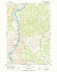
1952 · Olds Ferry NW
USGS Topo · 1:24,000

1952 · Olds Ferry
USGS Topo · 1:24,000

1952 · Olds Ferry
USGS Topo · 1:62,500

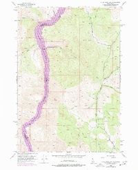
1952 · Olds Ferry SE
USGS Topo · 1:24,000

1955 · Baker
USGS Topo · 1:250,000

1957 · Durkee
USGS Topo · 1:62,500

1957 · Mineral
USGS Topo · 1:62,500

1959 · Baker
USGS Topo · 1:250,000