
1898 Map of Olean
USGS Topo · Published 1898About this map
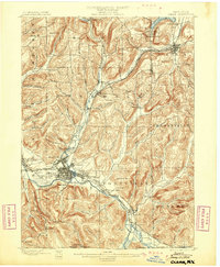
The Allegheny River valley forms the industrial and transport backbone of this late-nineteenth-century landscape, dominated by the major rail hub at Olean. The map captures a moment when several major lines converged, including the Western New York and Penna. R.R. and the Erie R.R. (Main Line). This rail infrastructure supported a burgeoning petroleum economy, evidenced by the clustered Oil Tanks and the presence of the Oil Spring Indian Reservation to the north.
Find a feature on this map
69 named features on this map. Tap any name to fly to it.
Don’t see what you’re looking for? This feature index may not catch every label — zoom into the map to look around manually.
Map Details
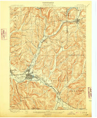
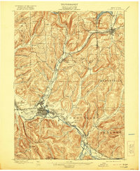
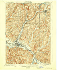
Editions of this 1898 Olean Map
5 editions found
Other maps of this area

1900 · Salamanca
USGS Topo · 1:62,500

1906 · Angelica
USGS Topo · 1:62,500

1924 · Ellicottville
USGS Topo · 1:62,500

1924 · Bradford
USGS Topo · 1:62,500

1924 · Franklinville
USGS Topo · 1:62,500

1925 · Belmont
USGS Topo · 1:62,500

1926 · Bradford
USGS Topo · 1:62,500

1933 · Smethport
USGS Topo · 1:62,500

1934 · Coudersport
USGS Topo · 1:48,000

1937 · Smethport
USGS Topo · 1:62,500