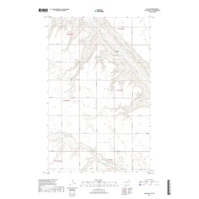
2017 Map of Olga NW
USGS Topo · Published 2017About this map
Pembina Valley dominates this 2017 survey of northern Cavalier County, where the meandering Pembina River cuts a deep course through the glacial till of the northeastern North Dakota landscape. The terrain is defined by the sharp descent from the surrounding plateau into the river valley, a topographical feature that has long influenced the placement of roads and farmsteads in the region. In the southern portion of the map, the Little Pembina River joins the drainage system, while the small settlement of Vang and the Big Pembina Cem sit atop the higher ground, serving as local landmarks for generations of area residents. The map illustrates a high-density grid of local township roads, including Mt Carmel Rd and Co Hwy 55, which navigate the difficult relief of the valley walls to connect the scattered rural developments.
Find a feature on this map
28 named features on this map. Tap any name to fly to it.
Don’t see what you’re looking for? This feature index may not catch every label — zoom into the map to look around manually.
Map Details
Editions of this 2017 Olga NW Map
This is the sole edition of this map. No revisions or reprints were ever made.
Other maps of this area
1953 · Devils Lake
USGS Topo · 1:250,000
1956 · Devils Lake
USGS Topo · 1:250,000
1967 · Langdon East
USGS Topo · 1:24,000
1967 · Maida
USGS Topo · 1:24,000
1969 · Olga SW
USGS Topo · 1:24,000
1969 · Olga NW
USGS Topo · 1:24,000
1972 · Vang
USGS Topo · 1:24,000
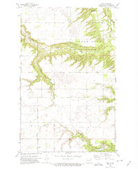
1972 · Olga
USGS Topo · 1:24,000
1985 · Langdon
USGS Topo · 1:100,000
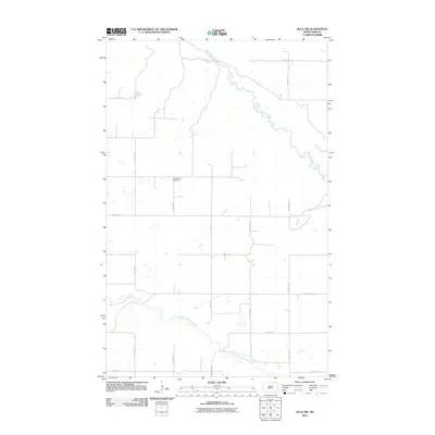
2011 · Olga NW
USGS Topo · 1:24,000