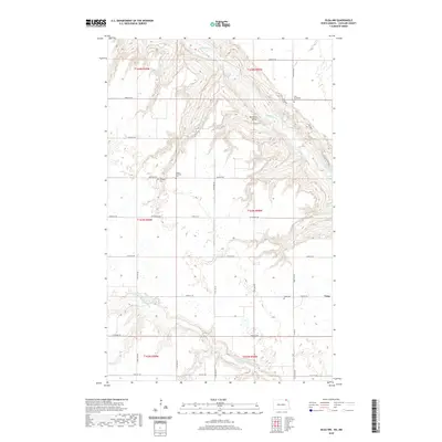
2020 Map of Olga NW
USGS Topo · Published 2020About this map
Pembina Valley dominates this Cavalier County landscape, where the Pembina River carves a deep, winding path through the northern plains. This 2020 record of the region shows a terrain defined by sharp coulees and drainage patterns like Whitetail Alley that feed into the river basin. The small settlement of Vang sits on the eastern edge of the survey, serving as a focal point for a rural community connected by a grid of section-line roads such as 109th St NE and Mt Carmel Rd. For those tracing local heritage, the map identifies several distinct burial sites including the Homen Lutheran Cem and Nore Numedahl Cem, which reflect the area's ethnic and religious settlement patterns. To the south, the Little Pembina River provides further geographic definition to this predominantly agricultural and ranching landscape.
Find a feature on this map
34 named features on this map. Tap any name to fly to it.
Don’t see what you’re looking for? This feature index may not catch every label — zoom into the map to look around manually.
Map Details
Editions of this 2020 Olga NW Map
This is the sole edition of this map. No revisions or reprints were ever made.
Other maps of this area
1953 · Devils Lake
USGS Topo · 1:250,000
1956 · Devils Lake
USGS Topo · 1:250,000
1967 · Langdon East
USGS Topo · 1:24,000
1967 · Maida
USGS Topo · 1:24,000
1969 · Olga SW
USGS Topo · 1:24,000
1969 · Olga NW
USGS Topo · 1:24,000
1972 · Vang
USGS Topo · 1:24,000
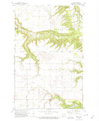
1972 · Olga
USGS Topo · 1:24,000
1985 · Langdon
USGS Topo · 1:100,000
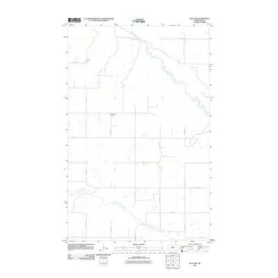
2011 · Olga NW
USGS Topo · 1:24,000