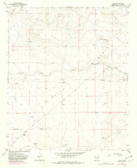
1967 Map of Olive
USGS Topo · Published 1982About this map
Olive (Site) sits at the heart of this rangeland survey, a landscape defined by the drainage systems of Hernandez Draw and Sand Draw as they wind through the Olive Basin. The map captures a transition in Chaves County land use, where established homesteads like the Gainer Ranch and Van Eaton Ranch operated alongside modern infrastructure such as unnamed Landing Strips and a substantial Pipeline.
Find a feature on this map
20 named features on this map. Tap any name to fly to it.
Don’t see what you’re looking for? This feature index may not catch every label — zoom into the map to look around manually.
Map Details
Editions of this 1967 Olive Map
2 editions found
Other maps of this area

1954 · Fort Sumner
USGS Topo · 1:250,000

1954 · Clovis
USGS Topo · 1:250,000

1954 · Brownfield
USGS Topo · 1:250,000

1955 · Roswell
USGS Topo · 1:250,000

1958 · Brownfield
USGS Topo · 1:250,000

1958 · Fort Sumner
USGS Topo · 1:250,000

1958 · Clovis
USGS Topo · 1:250,000

1958 · Roswell
USGS Topo · 1:250,000

1962 · Roswell
USGS Topo · 1:250,000

1962 · Brownfield
USGS Topo · 1:250,000