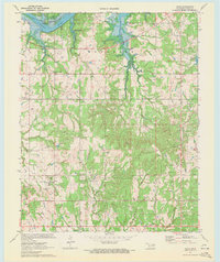
1970 Map of Olive
USGS Topo · Published 1972About this map
Silver City and Olive anchor this 1970 landscape, where the northern boundaries meet the expansive waters of the Keystone Reservoir and the Cimarron River. The terrain is defined by a dense network of energy infrastructure, including an extensive Oil Field and numerous Pipelines that cut across the local topography. This industrial presence is balanced by several rural community centers, such as Friendship Ch and Liberty Ch, which served the outlying populations of Creek County.
Find a feature on this map
30 named features on this map. Tap any name to fly to it.
Don’t see what you’re looking for? This feature index may not catch every label — zoom into the map to look around manually.
Map Details
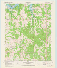
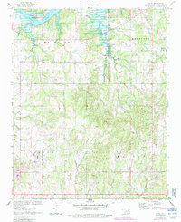
Editions of this 1970 Olive Map
3 editions found
Other maps of this area

1901 · Nuyaka
USGS Topo · 1:125,000

1912 · Hominy
USGS Topo · 1:125,000

1915 · Hominy
USGS Topo · 1:125,000

1916 · Bristow
USGS Topo · 1:62,500

1929 · Yale
USGS Topo · 1:62,500

1931 · Drumright
USGS Topo · 1:62,500

1932 · Yale
USGS Topo · 1:62,500

1954 · Oklahoma City
USGS Topo · 1:250,000

1955 · Enid
USGS Topo · 1:250,000

1957 · Oklahoma City
USGS Topo · 1:250,000