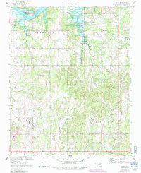
1970 Map of Olive
USGS Topo · Published 1983About this map
Oil field operations and agricultural patterns dominate this landscape in Creek County, Oklahoma, documented just as the region’s water infrastructure was maturing. The northern boundary is defined by the expanse of Keystone Lake and the Cimarron River, where the terrain transitions from river bottoms into the dissected uplands of Mannford and Hazelip. The community of Olive serves as a central hub, featuring a Sewage Disposal Pond and local infrastructure like the Radio Tower.
Find a feature on this map
28 named features on this map. Tap any name to fly to it.
Don’t see what you’re looking for? This feature index may not catch every label — zoom into the map to look around manually.
Map Details
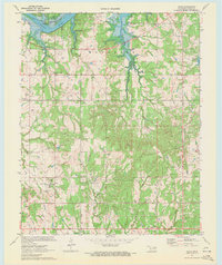
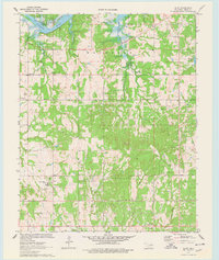
Editions of this 1970 Olive Map
3 editions found
Other maps of this area

1901 · Nuyaka
USGS Topo · 1:125,000

1912 · Hominy
USGS Topo · 1:125,000

1915 · Hominy
USGS Topo · 1:125,000

1916 · Bristow
USGS Topo · 1:62,500

1929 · Yale
USGS Topo · 1:62,500

1931 · Drumright
USGS Topo · 1:62,500

1932 · Yale
USGS Topo · 1:62,500

1954 · Oklahoma City
USGS Topo · 1:250,000

1955 · Enid
USGS Topo · 1:250,000

1957 · Oklahoma City
USGS Topo · 1:250,000