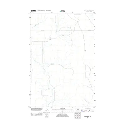
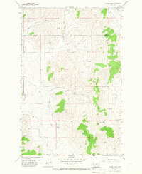
2011 Map of Oliver Point
USGS Topo · Published 2011About this map
The Little Bitterroot River snakes through this portion of Lake County, Montana, defining the local drainage patterns and supporting the springs that dot the landscape. Water sources like Sullivan Spring and Magpie Spring are critical nodes in this arid geography, while the prominent rise of Oliver Point serves as a major regional landmark. The map reveals a network of rural roads, such as Camp Aqua Rd and Big Bend Rd, that follow the natural contours and valley floors. Notable landforms like Oliver Gulch and Big Gulch illustrate the erosional history of the terrain. This survey reflects the modern rural infrastructure of the early 21st century, where basic access routes and named natural features remain the primary identifiers of the land.
Find a feature on this map
10 named features on this map. Tap any name to fly to it.
Don’t see what you’re looking for? This feature index may not catch every label — zoom into the map to look around manually.
Map Details
Editions of this 2011 Oliver Point Map
This is the sole edition of this map. No revisions or reprints were ever made.
Other maps of this area
1920 · Flathead Lake
USGS Topo · 1:125,000

1956 · Wallace
USGS Topo · 1:250,000
1959 · Perma
USGS Topo · 1:62,500

1960 · Wallace
USGS Topo · 1:250,000
1964 · Buffalo Bridge
USGS Topo · 1:24,000
1964 · Melton Ranch
USGS Topo · 1:24,000
1964 · Markle Pass
USGS Topo · 1:24,000
1964 · Hot Springs NE
USGS Topo · 1:24,000
1965 · Sloan
USGS Topo · 1:24,000
1965 · Oliver Point
USGS Topo · 1:24,000