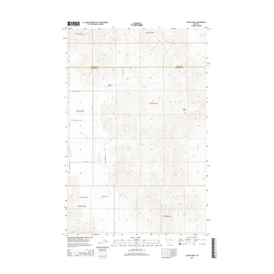
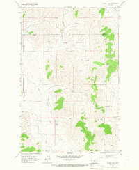
2014 Map of Oliver Point
USGS Topo · Published 2014About this map
The Little Bitterroot River winds through this section of the Montana landscape, marking a significant hydrologic feature along the boundary between Lake Co and Sanders Co. This area is characterized by deep drainage systems and prominent elevations, such as the namesake Oliver Point and the winding Oliver Gulch. The terrain is navigated by a network of local roads including Fitzpatrick Rd and Knapp Rd, which serve the rural corridors west of the river. Natural water sources like Sullivan Spring and Magpie Spring are positioned at the base of the ridges, while Sagebrush Flats Trl suggests the arid, open vegetation typical of this part of the state. The arrangement of section lines and township markers provides a clear view of the land division in this ranching and transition country.
Find a feature on this map
19 named features on this map. Tap any name to fly to it.
Don’t see what you’re looking for? This feature index may not catch every label — zoom into the map to look around manually.
Map Details
Editions of this 2014 Oliver Point Map
This is the sole edition of this map. No revisions or reprints were ever made.
Other maps of this area
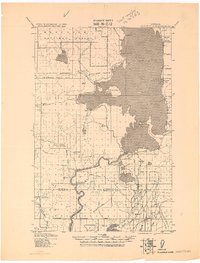
1920 · Flathead Lake
USGS Topo · 1:125,000

1956 · Wallace
USGS Topo · 1:250,000
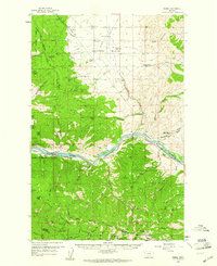
1959 · Perma
USGS Topo · 1:62,500

1960 · Wallace
USGS Topo · 1:250,000
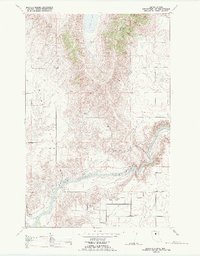
1964 · Buffalo Bridge
USGS Topo · 1:24,000
1964 · Melton Ranch
USGS Topo · 1:24,000
1964 · Markle Pass
USGS Topo · 1:24,000
1964 · Hot Springs NE
USGS Topo · 1:24,000
1965 · Sloan
USGS Topo · 1:24,000
1965 · Oliver Point
USGS Topo · 1:24,000