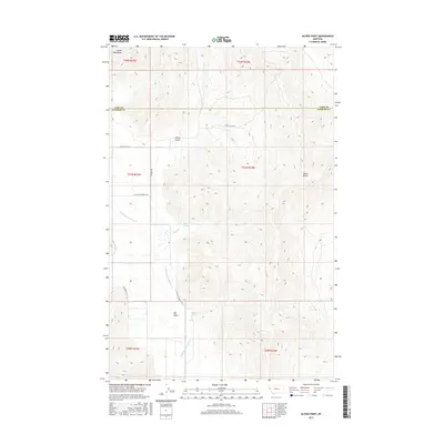
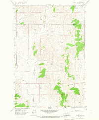
2017 Map of Oliver Point
USGS Topo · Published 2017About this map
The Salish Mountains dominate this high-country landscape, where the Little Bitterroot River winds southward through a high valley. This 2017 survey captures a remote section of the Montana wilderness, defined by its complex network of seasonal water sources and geographic landmarks. Important hydrologic features like Sullivan Spring and Magpie Spring provide vital water points in an area carved by erosion, most notably seen in the depths of Oliver Gulch and Big Gulch. To the east, the terrain rises sharply toward Oliver Point, a prominent overlook that provides a commanding view of the surrounding drainage basins.
Find a feature on this map
18 named features on this map. Tap any name to fly to it.
Don’t see what you’re looking for? This feature index may not catch every label — zoom into the map to look around manually.
Map Details
Editions of this 2017 Oliver Point Map
This is the sole edition of this map. No revisions or reprints were ever made.
Other maps of this area
1920 · Flathead Lake
USGS Topo · 1:125,000

1956 · Wallace
USGS Topo · 1:250,000
1959 · Perma
USGS Topo · 1:62,500

1960 · Wallace
USGS Topo · 1:250,000
1964 · Buffalo Bridge
USGS Topo · 1:24,000
1964 · Melton Ranch
USGS Topo · 1:24,000
1964 · Markle Pass
USGS Topo · 1:24,000
1964 · Hot Springs NE
USGS Topo · 1:24,000
1965 · Sloan
USGS Topo · 1:24,000
1965 · Oliver Point
USGS Topo · 1:24,000