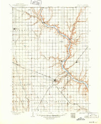
1898 Map of Olivet
USGS Topo · Published 1950About this map
The James River carves a deep, winding path through the heart of southeastern South Dakota, its steep valley contrasting sharply with the surrounding agricultural tablelands. In the late 19th century, the expansion of the Chicago Milwaukee and St. Paul railroad, including the Iowa and Dakota Division, dictated the growth of prairie towns like Parkston and Scotland. These rail corridors were vital arteries for grain and livestock transport, bypassing older river-oriented sites.
Find a feature on this map
36 named features on this map. Tap any name to fly to it.
Don’t see what you’re looking for? This feature index may not catch every label — zoom into the map to look around manually.
Map Details
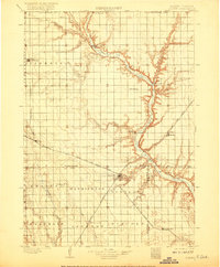
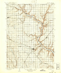
Editions of this 1898 Olivet Map
4 editions found
Other maps of this area

1898 · Olivet
USGS Topo · 1:125,000

1898 · Parker
USGS Topo · 1:125,000

1899 · Mitchell
USGS Topo · 1:125,000

1899 · Alexandria
USGS Topo · 1:125,000

1955 · Sioux City
USGS Topo · 1:250,000

1955 · Sioux Falls
USGS Topo · 1:250,000

1955 · Mitchell
USGS Topo · 1:250,000

1955 · O'Neill
USGS Topo · 1:250,000

1957 · Tschetter Colony
USGS Topo · 1:24,000

1957 · Ethan
USGS Topo · 1:24,000