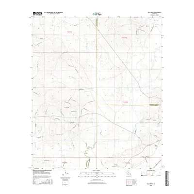
2015 Map of Olla West
USGS Topo · Published 2015About this map
Olla and Urania serve as the primary population centers in this 2015 survey of north-central Louisiana, where the borders of Winn, Caldwell, and LaSalle Parishes converge. The landscape is defined by a dense network of waterways including Castor Creek, Richland Creek, and Beech Creek, illustrating the well-watered timberlands of the region. For those researching local families, the map provides precise locations for several burial sites such as Whitehead Cemetery, Nelson Cemetery, and McBroom Cemetery. Transportation is anchored by the La Pacific Road and an extensive system of numbered parish routes, including Parish Road 731 and Parish Road 1169, which navigate the subtle drainage basins of Sandy Creek and Delphit Branch.
Find a feature on this map
75 named features on this map. Tap any name to fly to it.
Don’t see what you’re looking for? This feature index may not catch every label — zoom into the map to look around manually.
Map Details
Editions of this 2015 Olla West Map
This is the sole edition of this map. No revisions or reprints were ever made.
Other maps of this area

1940 · Columbia
USGS Topo · 1:62,500

1953 · Alexandria
USGS Topo · 1:250,000

1954 · Sikes
USGS Topo · 1:62,500

1954 · Tullos
USGS Topo · 1:62,500

1955 · Shreveport
USGS Topo · 1:250,000

1955 · Alexandria
USGS Topo · 1:250,000

1955 · Olla
USGS Topo · 1:62,500

1956 · Shreveport
USGS Topo · 1:250,000

1957 · Columbia
USGS Topo · 1:62,500

1984 · Shreveport
USGS Topo · 1:250,000