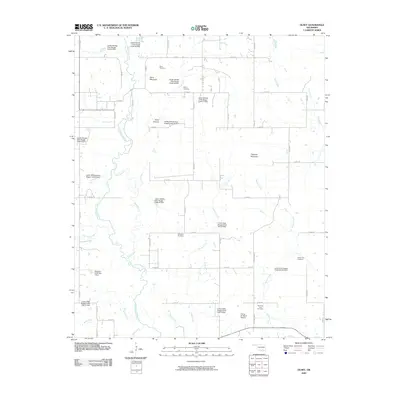
2009 Map of Olney
USGS Topo · Published 2009About this map
Clear Boggy Creek and its many tributaries define this section of Coal County, where a complex system of flood control dams regulates the watershed. The landscape is marked by several prominent family-named landmarks and local burial grounds, including the Standing Rock Cemetery and Whitehall Cemetery. The terrain is punctuated by significant elevations such as Davis Mountain and Flagpole Mountain, providing a varied relief that contrasts with the low-lying basins of Sandy Creek and Watson Creek. Local aviation is represented by the Flying W Ranch Airport, while the intricate network of county roads, such as E 1800 RD, provides access to the dispersed rural homesteads. The hydrography is particularly notable for the numerous dam sites like Leader Middle Clear Boggy Creek 40 Dam and the remnants of the Old Channel, reflecting long-term efforts to manage the local water systems.
Find a feature on this map
45 named features on this map. Tap any name to fly to it.
Don’t see what you’re looking for? This feature index may not catch every label — zoom into the map to look around manually.
Map Details
Editions of this 2009 Olney Map
This is the sole edition of this map. No revisions or reprints were ever made.
Other maps of this area

1896 · Coalgate
USGS Topo · 1:125,000

1899 · Coalgate
USGS Topo · 1:125,000

1899 · Atoka
USGS Topo · 1:125,000

1900 · Atoka
USGS Topo · 1:125,000

1900 · Coalgate
USGS Topo · 1:125,000

1957 · Coalgate
USGS Topo · 1:24,000

1957 · Lehigh
USGS Topo · 1:24,000

1957 · Centrahoma
USGS Topo · 1:24,000

1957 · Ardmore
USGS Topo · 1:250,000

1963 · Ardmore
USGS Topo · 1:250,000