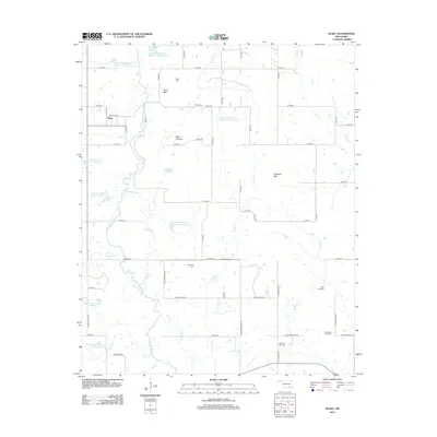
2012 Map of Olney
USGS Topo · Published 2012About this map
Clear Boggy Cr meanders south through this Oklahoma landscape, defining a terrain of low hills and agricultural creek bottoms. The settlement of Olney serves as the primary hub, situated near the western edge where Elm Cr joins the larger drainage system. The map reveals an intricate network of flood control and water management structures, including the Leader Middle Clear Boggy Cr 41 Reservoir and several numbered sites like Lower Clear Boggy Cr Site 21 Reservoir.
Find a feature on this map
67 named features on this map. Tap any name to fly to it.
Don’t see what you’re looking for? This feature index may not catch every label — zoom into the map to look around manually.
Map Details
Editions of this 2012 Olney Map
This is the sole edition of this map. No revisions or reprints were ever made.
Other maps of this area

1896 · Coalgate
USGS Topo · 1:125,000

1899 · Coalgate
USGS Topo · 1:125,000

1899 · Atoka
USGS Topo · 1:125,000

1900 · Atoka
USGS Topo · 1:125,000

1900 · Coalgate
USGS Topo · 1:125,000

1957 · Coalgate
USGS Topo · 1:24,000

1957 · Lehigh
USGS Topo · 1:24,000

1957 · Centrahoma
USGS Topo · 1:24,000

1957 · Ardmore
USGS Topo · 1:250,000

1963 · Ardmore
USGS Topo · 1:250,000