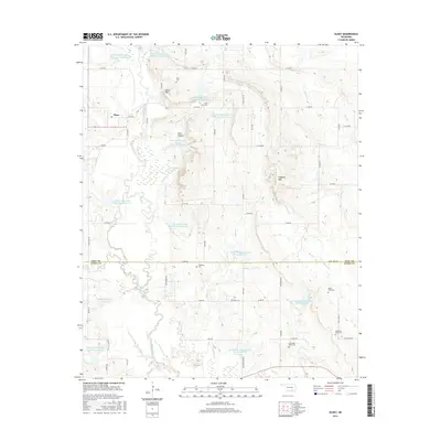
2016 Map of Olney
USGS Topo · Published 2016About this map
Olney sits at the heart of this landscape where the borders of Coal Co and Atoka Co meet. The area is defined by a complex network of water management and natural drainage, featuring numerous reservoirs including Leader Middle Clear Boggy Cr 4 Reservoir and Lower Clear Boggy Creek Site 23 Reservoir. These man-made features surround the meandering course of Clear Boggy Creek and its many tributaries like Coon Cr and Sandy Cr. The topography rises to distinct peaks at Davis Mtn and Flagpole Mtn, offering a view over the Clear Canyon. Genealogists will find significant value in the distribution of family and community burial sites, from Davis Cem in the north to Standing Rock Cem and Columbus Rose Cem in the south, reflecting the deep-rooted settlement patterns of this rural Oklahoma region.
Find a feature on this map
58 named features on this map. Tap any name to fly to it.
Don’t see what you’re looking for? This feature index may not catch every label — zoom into the map to look around manually.
Map Details
Editions of this 2016 Olney Map
This is the sole edition of this map. No revisions or reprints were ever made.
Other maps of this area

1896 · Coalgate
USGS Topo · 1:125,000

1899 · Coalgate
USGS Topo · 1:125,000

1899 · Atoka
USGS Topo · 1:125,000

1900 · Atoka
USGS Topo · 1:125,000

1900 · Coalgate
USGS Topo · 1:125,000

1957 · Coalgate
USGS Topo · 1:24,000

1957 · Lehigh
USGS Topo · 1:24,000

1957 · Centrahoma
USGS Topo · 1:24,000

1957 · Ardmore
USGS Topo · 1:250,000

1963 · Ardmore
USGS Topo · 1:250,000