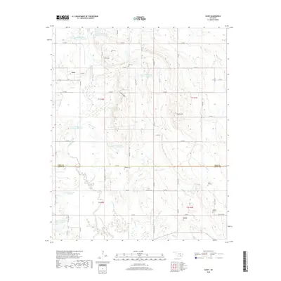
2018 Map of Olney
USGS Topo · Published 2018About this map
Olney sits at the intersection of rural roads in the northwestern corner of this landscape, where the terrain begins to rise toward Davis Mtn. The geography is defined by a sophisticated water management system, including numerous numbered catchments like Leader Middle Clear Boggy Cr 39 Reservoir and Leader Middle Clear Boggy Cr 4 Reservoir. These engineered water bodies are interwoven with the natural courses of Clear Boggy Creek and Sandy Cr, reflecting the region's focus on flood control and water storage.
Find a feature on this map
68 named features on this map. Tap any name to fly to it.
Don’t see what you’re looking for? This feature index may not catch every label — zoom into the map to look around manually.
Map Details
Editions of this 2018 Olney Map
This is the sole edition of this map. No revisions or reprints were ever made.
Other maps of this area
1896 · Coalgate
USGS Topo · 1:125,000
1899 · Coalgate
USGS Topo · 1:125,000
1899 · Atoka
USGS Topo · 1:125,000
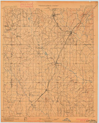
1900 · Atoka
USGS Topo · 1:125,000
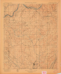
1900 · Coalgate
USGS Topo · 1:125,000
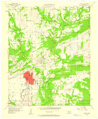
1957 · Coalgate
USGS Topo · 1:24,000
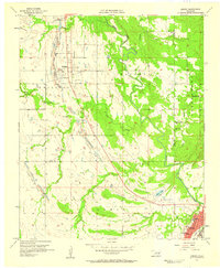
1957 · Lehigh
USGS Topo · 1:24,000
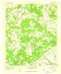
1957 · Centrahoma
USGS Topo · 1:24,000
1957 · Ardmore
USGS Topo · 1:250,000
1963 · Ardmore
USGS Topo · 1:250,000