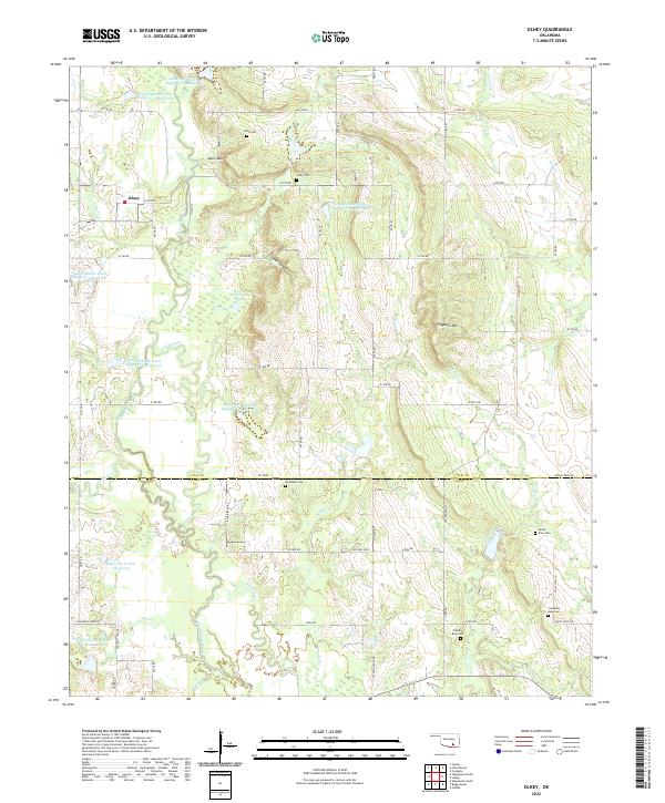
2022 Map of Olney
USGS Topo · Published 2022About this map
Olney serves as the central settlement point in this section of Coal and Atoka counties, situated amidst a landscape defined by an extensive network of water management and natural drainages. The area is characterized by numerous reservoirs, including Leader Middle Clear Boggy Cr 39 Reservoir and the Delaware Cr Site 1 Reservoir, which highlight the importance of water control in this part of Oklahoma. These man-made features exist alongside natural landmarks like Davis Mtn and Flagpole Mtn, while Clear Canyon provides a distinct topographic break in the northern section. For genealogical research, the map is particularly useful as it precisely locates several family and community burial grounds, such as Whitehall Cem, Standing Rock Cem, and Columbus Rose Cem, many of which are tucked away near local watercourses like Watson Creek or Dry Boggy Cr.
Find a feature on this map
60 named features on this map. Tap any name to fly to it.
Don’t see what you’re looking for? This feature index may not catch every label — zoom into the map to look around manually.
Map Details
Editions of this 2022 Olney Map
This is the sole edition of this map. No revisions or reprints were ever made.
Other maps of this area

1896 · Coalgate
USGS Topo · 1:125,000

1899 · Coalgate
USGS Topo · 1:125,000

1899 · Atoka
USGS Topo · 1:125,000

1900 · Atoka
USGS Topo · 1:125,000

1900 · Coalgate
USGS Topo · 1:125,000

1957 · Coalgate
USGS Topo · 1:24,000

1957 · Lehigh
USGS Topo · 1:24,000

1957 · Centrahoma
USGS Topo · 1:24,000

1957 · Ardmore
USGS Topo · 1:250,000

1963 · Ardmore
USGS Topo · 1:250,000