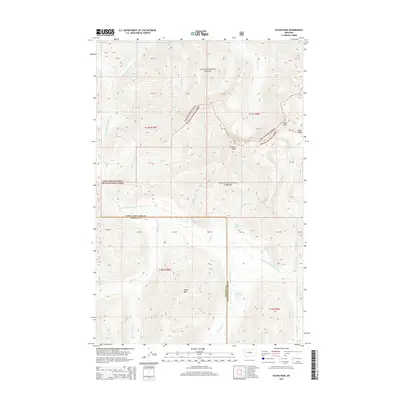
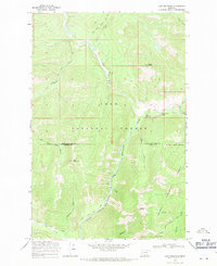
2014 Map of Olson Peak
USGS Topo · Published 2014About this map
N Fork Blackfoot River cuts through this high-elevation terrain where the Lolo National Forest and Helena National Forest converge. This 2014 survey captures a landscape defined by significant topographic relief and a network of mountain drainages, including the headwaters of Cooney Cr and Theodore Cr. The map illustrates the complex boundary lines and public land survey system divisions within Lewis and Clark County, providing a clear record of the watershed patterns and land management zones at the time of the imagery. Researchers can trace the path of the river as it winds through the northern sections of the quadrangle, which remains largely characterized by its natural water features and lack of dense modern development.
Find a feature on this map
3 named features on this map. Tap any name to fly to it.
Don’t see what you’re looking for? This feature index may not catch every label — zoom into the map to look around manually.
Map Details
Editions of this 2014 Olson Peak Map
This is the sole edition of this map. No revisions or reprints were ever made.
Other maps of this area
1903 · Coopers Lake
USGS Topo · 1:125,000

1955 · Choteau
USGS Topo · 1:250,000

1957 · Choteau
USGS Topo · 1:250,000
1958 · Choteau
USGS Topo · 1:250,000
1962 · Choteau
USGS Topo · 1:250,000
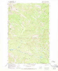
1968 · Heart Lake
USGS Topo · 1:24,000
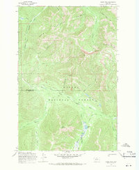
1968 · Olson Peak
USGS Topo · 1:24,000
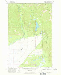
1968 · Coopers Lake
USGS Topo · 1:24,000
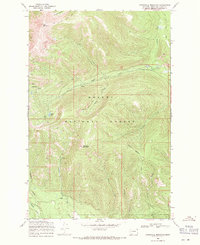
1968 · Stonewall Mountain
USGS Topo · 1:24,000
1968 · Lake Mountain
USGS Topo · 1:24,000