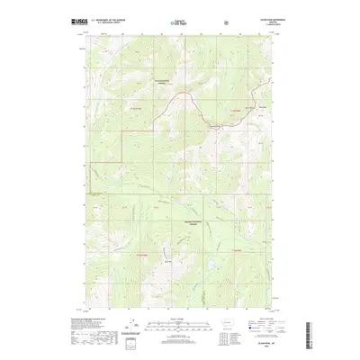
2020 Map of Olson Peak
USGS Topo · Published 2020About this map
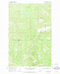
Olson Peak and Galusha Peak dominate the skyline within this high-elevation landscape of the Lolo National Forest and Helena National Forest. The map documents a complex drainage system where the N Fork Blackfoot River and its various tributaries, such as Spaulding Cr and Camp Cr, carve through the terrain. A sophisticated network of backcountry paths, including the Mainline Trail and Bugle Mountain Trail, provides the primary means of navigation through these protected lands. The border between Lewis and Clark and Powell Counties bisects the area, highlighting the remote nature of this mountain corridor. Researchers will find significant alpine water features like Twin Lakes and Meadow Lake, as well as named landmarks like Red Ridge, which define the local topography at the headwaters of the Blackfoot river system.
Find a feature on this map
43 named features on this map. Tap any name to fly to it.
Don’t see what you’re looking for? This feature index may not catch every label — zoom into the map to look around manually.
Map Details
Editions of this 2020 Olson Peak Map
This is the sole edition of this map. No revisions or reprints were ever made.
Other maps of this area
1903 · Coopers Lake
USGS Topo · 1:125,000

1955 · Choteau
USGS Topo · 1:250,000

1957 · Choteau
USGS Topo · 1:250,000
1958 · Choteau
USGS Topo · 1:250,000
1962 · Choteau
USGS Topo · 1:250,000
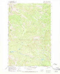
1968 · Heart Lake
USGS Topo · 1:24,000
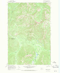
1968 · Olson Peak
USGS Topo · 1:24,000
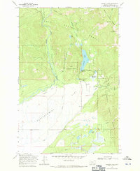
1968 · Coopers Lake
USGS Topo · 1:24,000
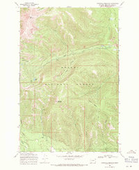
1968 · Stonewall Mountain
USGS Topo · 1:24,000
1968 · Lake Mountain
USGS Topo · 1:24,000