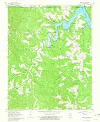
1966 Map of Omaha NE
USGS Topo · Published 1981About this map
Bull Shoals Lake and the White River dominate the northern landscape of this mid-1960s survey, where the water's edge meets the high ridges of Sugar Loaf and White Oak Mountain. The terrain is characterized by deep hollows like Tucker Hollow and Carrollton Hollow, which influenced the placement of early settlements and roads. Small community centers such as Lead Hill, Bellville, and Boone appear alongside rural landmarks, including Pleasant Ridge Ch and the Cem Chaney Ch. The Missouri Pacific rail line cuts through the southern portion near Self, providing a corridor through the rugged Ozark topography. This era shows the transition of the river valley into a recreational landscape, anchored by the Tucker Hollow Recreation Area, while maintaining the scattered footprint of historic upland farms and local cemeteries like Cottonwood Cem.
Find a feature on this map
40 named features on this map. Tap any name to fly to it.
Don’t see what you’re looking for? This feature index may not catch every label — zoom into the map to look around manually.
Map Details
Editions of this 1966 Omaha NE Map
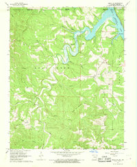
2 editions found
Other maps of this area

1893 · Yellville
USGS Topo · 1:125,000

1903 · Yellville
USGS Topo · 1:125,000

1904 · Harrison
USGS Topo · 1:125,000

1905 · Harrison
USGS Topo · 1:125,000

1905 · Yellville
USGS Topo · 1:125,000

1907 · Forsyth
USGS Topo · 1:125,000

1929 · Yellville
USGS Topo · 1:125,000

1943 · Protem
USGS Topo · 1:62,500

1945 · Harrison
USGS Topo · 1:250,000

1949 · Harrison
USGS Topo · 1:250,000