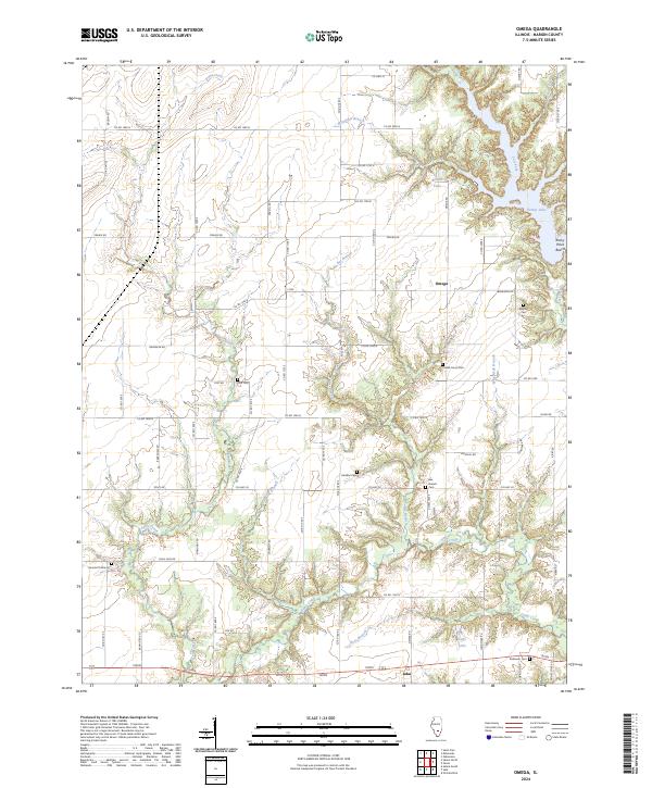
2024 Map of Omega
USGS Topo · Published 2024About this map
Omega and the northern outskirts of Iuka anchor this portion of Marion County, where a dense network of county roads overlays a landscape defined by meandering creek branches and timbered ravines. The area is notable for its high density of family and community burial grounds, including the Bee Branch Cem, Lovells Grove Cem, and Hadden Cem, which serve as vital touchstones for local genealogical research.
Find a feature on this map
69 named features on this map. Tap any name to fly to it.
Don’t see what you’re looking for? This feature index may not catch every label — zoom into the map to look around manually.
Map Details
Editions of this 2024 Omega Map
This is the sole edition of this map. No revisions or reprints were ever made.
Other maps of this area

1934 · Salem
USGS Topo · 1:62,500

1938 · Salem
USGS Topo · 1:62,500

1945 · Kinmundy
USGS Topo · 1:62,500

1947 · Kinmundy
USGS Topo · 1:62,500

1952 · Xenia
USGS Topo · 1:62,500

1956 · Edgewood
USGS Topo · 1:62,500

1958 · Belleville
USGS Topo · 1:250,000

1962 · Belleville
USGS Topo · 1:250,000

1965 · Iuka
USGS Topo · 1:24,000
1965 · Salem South
USGS Topo · 1:24,000