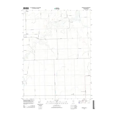
2015 Map of Onarga East
USGS Topo · Published 2015About this map
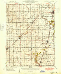
Gilman and Onarga anchor the northwestern corner of this Iroquois County landscape, where the flat prairie terrain is defined by an intricate network of section-line roads and slow-moving waterways. The rural character of the area is punctuated by traditional community landmarks such as Saint John's Ash Grove Cem and Immanuel Lutheran Cem. These sites, along with the numerous family farms connected by routes like N 1000 East Rd and E 1600 North Rd, offer a clear view of the agricultural continuity that has shaped the region for generations. The drainage patterns of Spring Creek, Little Mud Cr, and Shavetail Cr illustrate the natural hydrology of the Illinois till plain, which remains the primary influence on local land use and development outside the small town centers.
Find a feature on this map
44 named features on this map. Tap any name to fly to it.
Don’t see what you’re looking for? This feature index may not catch every label — zoom into the map to look around manually.
Map Details
Editions of this 2015 Onarga East Map
This is the sole edition of this map. No revisions or reprints were ever made.
Other maps of this area
1939 · Cissna Park
USGS Topo · 1:62,500
1944 · Piper City
USGS Topo · 1:48,000
1944 · Gilman
USGS Topo · 1:62,500
1946 · Gilman
USGS Topo · 1:62,500
1947 · Piper City
USGS Topo · 1:62,500
1948 · Buckley
USGS Topo · 1:62,500
1949 · Cissna Park
USGS Topo · 1:62,500
1949 · Buckley
USGS Topo · 1:62,500
1953 · Danville
USGS Topo · 1:250,000
1955 · Danville
USGS Topo · 1:250,000