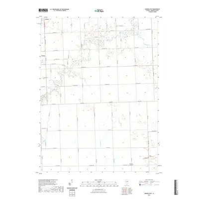
2021 Map of Onarga East
USGS Topo · Published 2021About this map
Gilman and Onarga anchor the western edge of this Iroquois County landscape, where the flat agricultural terrain is defined by a rigorous grid of section roads and small watercourses. The drainage of the area is facilitated by Spring Creek, which meanders across the northern and southern sectors, while Little Mud Cr and Shavetail Cr serve the central and eastern reaches. A cluster of Lutheran heritage is evident in the southeast corner of the quadrangle, where several historic cemeteries are situated in close proximity to one another. Genealogists and local historians can find the Immanuel Lutheran Cem, Trinity Lutheran Cem, and the Saint Johns Lutheran Ash Grove Cem grouped together, reflecting the deep-rooted community ties and migratory patterns of early settlers in this part of Illinois.
Find a feature on this map
54 named features on this map. Tap any name to fly to it.
Don’t see what you’re looking for? This feature index may not catch every label — zoom into the map to look around manually.
Map Details
Editions of this 2021 Onarga East Map
This is the sole edition of this map. No revisions or reprints were ever made.
Other maps of this area

1939 · Cissna Park
USGS Topo · 1:62,500

1944 · Piper City
USGS Topo · 1:48,000

1944 · Gilman
USGS Topo · 1:62,500

1946 · Gilman
USGS Topo · 1:62,500

1947 · Piper City
USGS Topo · 1:62,500

1948 · Buckley
USGS Topo · 1:62,500

1949 · Cissna Park
USGS Topo · 1:62,500

1949 · Buckley
USGS Topo · 1:62,500

1953 · Danville
USGS Topo · 1:250,000

1955 · Danville
USGS Topo · 1:250,000