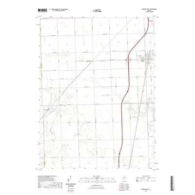
2021 Map of Onarga West
USGS Topo · Published 2021About this map
Gilman and Onarga anchor the eastern edge of this East Central Illinois landscape, where the flat agricultural terrain is defined by a rigid grid of country roads. The transition between Iroquois County and Ford County is visible on the western margin, a boundary that cuts through the open prairie. Small rural settlements like Ridgeville and Thawville serve as local hubs, connected by an extensive network of numeric routes such as Co Rd 1200 N and E 1500 North Rd.
Find a feature on this map
39 named features on this map. Tap any name to fly to it.
Don’t see what you’re looking for? This feature index may not catch every label — zoom into the map to look around manually.
Map Details
Editions of this 2021 Onarga West Map
This is the sole edition of this map. No revisions or reprints were ever made.
Other maps of this area

1939 · Cissna Park
USGS Topo · 1:62,500

1944 · Piper City
USGS Topo · 1:48,000

1944 · Gilman
USGS Topo · 1:62,500

1946 · Gilman
USGS Topo · 1:62,500

1947 · Piper City
USGS Topo · 1:62,500

1948 · Buckley
USGS Topo · 1:62,500

1949 · Cissna Park
USGS Topo · 1:62,500

1949 · Buckley
USGS Topo · 1:62,500

1953 · Danville
USGS Topo · 1:250,000

1955 · Danville
USGS Topo · 1:250,000