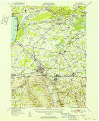
1946 Map of Oneida
USGS Topo · Published 1952About this map
The Oneida Lake shoreline at Sylvan Beach and Verona Beach anchors this 1940s landscape, where the historical Erie Canal cuts through the low-lying Sand Plains. The map captures a transitional era for Madison and Oneida counties, showing the established grid of the Seneca Turnpike and the New York Central rail corridor as they pass through Oneida Castle and Sherrill. Local identity is rooted in naming, with dozens of small crossroads and schools like Irish Ridge Ch, Stacy Basin, and Johnnycake Hill marking the rural uplands south of the canal.
Find a feature on this map
118 named features on this map. Tap any name to fly to it.
Don’t see what you’re looking for? This feature index may not catch every label — zoom into the map to look around manually.
Map Details
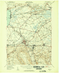
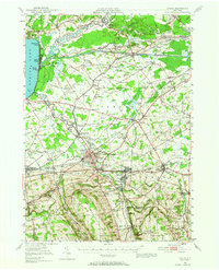
Editions of this 1946 Oneida Map
Other maps of this area

1895 · Chittenango
USGS Topo · 1:62,500

1895 · Oriskany
USGS Topo · 1:62,500

1895 · Oneida
USGS Topo · 1:62,500

1897 · Cazenovia
USGS Topo · 1:62,500

1898 · Oneida
USGS Topo · 1:62,500

1898 · Chittenango
USGS Topo · 1:62,500

1898 · Oriskany
USGS Topo · 1:62,500

1899 · Cazenovia
USGS Topo · 1:62,500

1902 · Chittenango
USGS Topo · 1:62,500

1902 · Morrisville
USGS Topo · 1:62,500