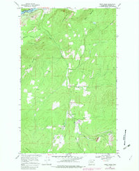
1969 Map of Onion Creek
USGS Topo · Published 1982About this map
Van Stone Mine anchors the southern portion of this landscape, accompanied by a large Tailings Pond and waste Tailings piles that illustrate the mid-century industrial activity in this corner of Stevens County. Along the Columbia River at the northwestern edge, the Coulee Dam Nat Rec Area defines the riverfront near the Little Dalles, while the Burlington Northern railroad traces the water's edge.
Find a feature on this map
23 named features on this map. Tap any name to fly to it.
Don’t see what you’re looking for? This feature index may not catch every label — zoom into the map to look around manually.
Map Details
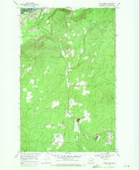
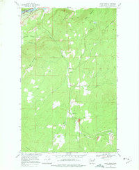
Editions of this 1969 Onion Creek Map
3 editions found
Other maps of this area

1929 · Colville
USGS Topo · 1:125,000

1933 · Colville
USGS Topo · 1:125,000

1952 · Gillette Mtn
USGS Topo · 1:24,000

1952 · Spirit
USGS Topo · 1:24,000

1952 · Echo Valley
USGS Topo · 1:24,000

1952 · Boundary
USGS Topo · 1:24,000

1952 · Aladdin
USGS Topo · 1:24,000

1958 · Sandpoint
USGS Topo · 1:250,000

1963 · Sandpoint
USGS Topo · 1:250,000
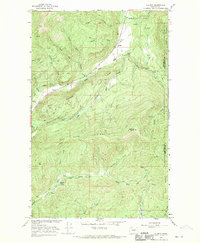
1966 · Aladdin
USGS Topo · 1:24,000